Black Mountain, NC - Montreat Trail System
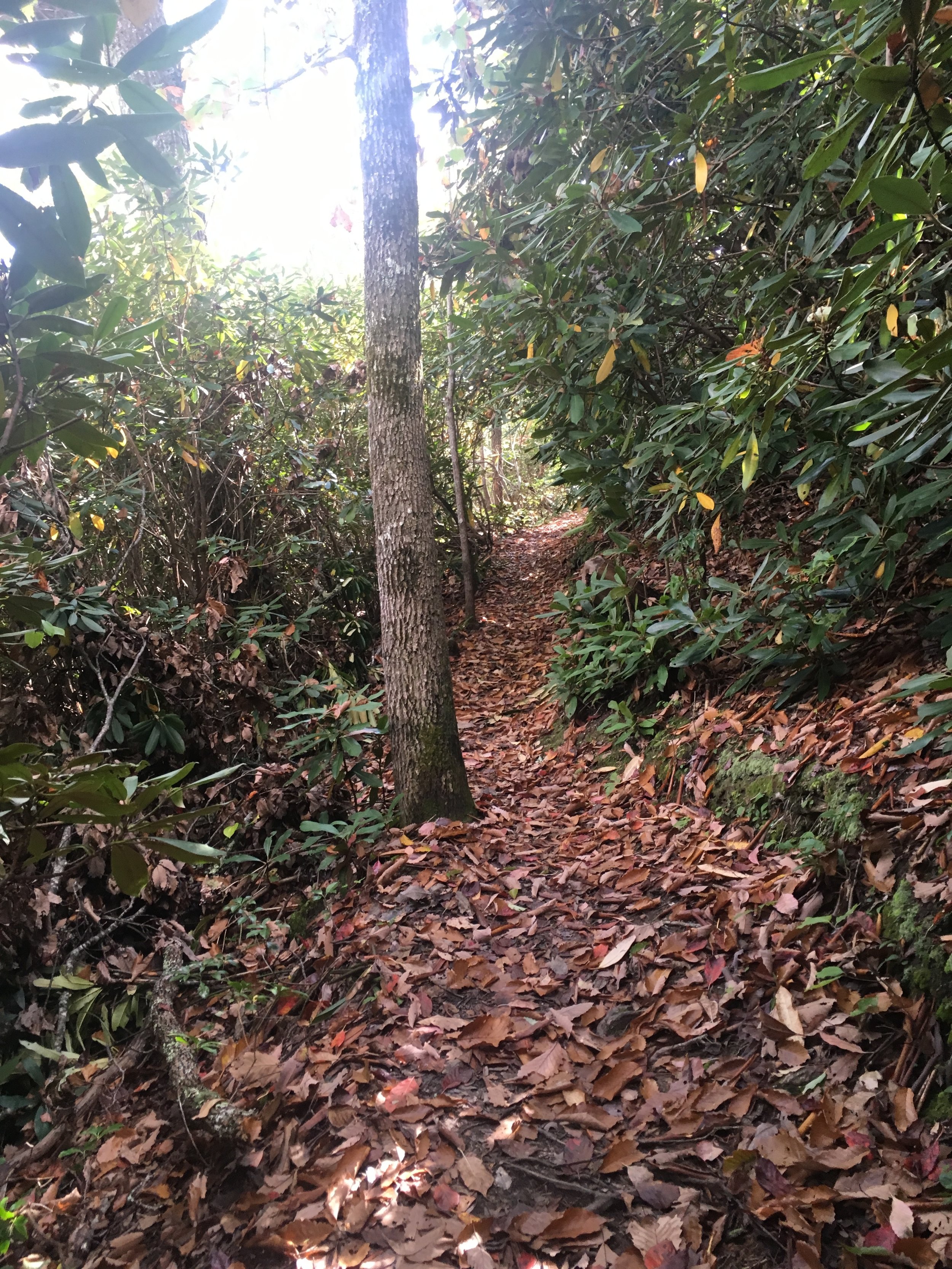
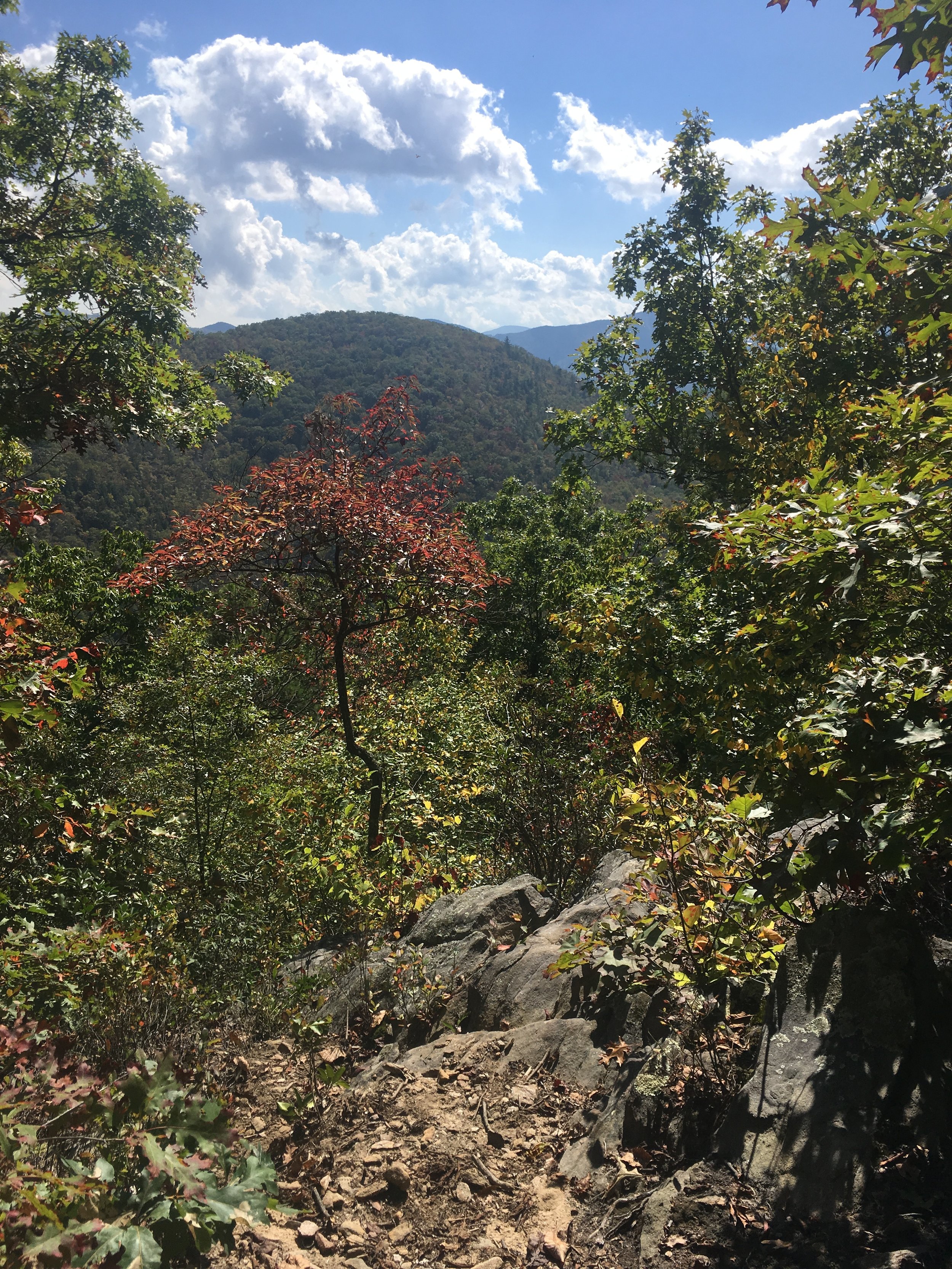
It's a beautiful time of the year to be out updating trails data. Yesterday, I got out on the Montreat trails just outside of Black Mountain, NC and took in some beautiful views and much needed GPS data. The Montreat trails can be demanding but the views are well worth it. Most of Montreat is 'hike only' so please get a map so you can respect the trail use and designation.
The Black Mountain and surrounding area Trail Guide has been out of print for about a month but we are working hard to get it updated and back in circulation. One update involves the Big Piney / Lower Piney Trail intersection seen below. The red and blue lines represent actual trail alignments being updated for the 2nd edition of this map. Many people refer to this map as the Montreat map and/or Ridgecrest map as it covers both of these popular trail systems in great detail.

This edition will also feature a new map cover. We'll be showing this off soon. In the meantime, check out these photos from the beautiful hike.