DuPont State Recreational Forest Wall Map
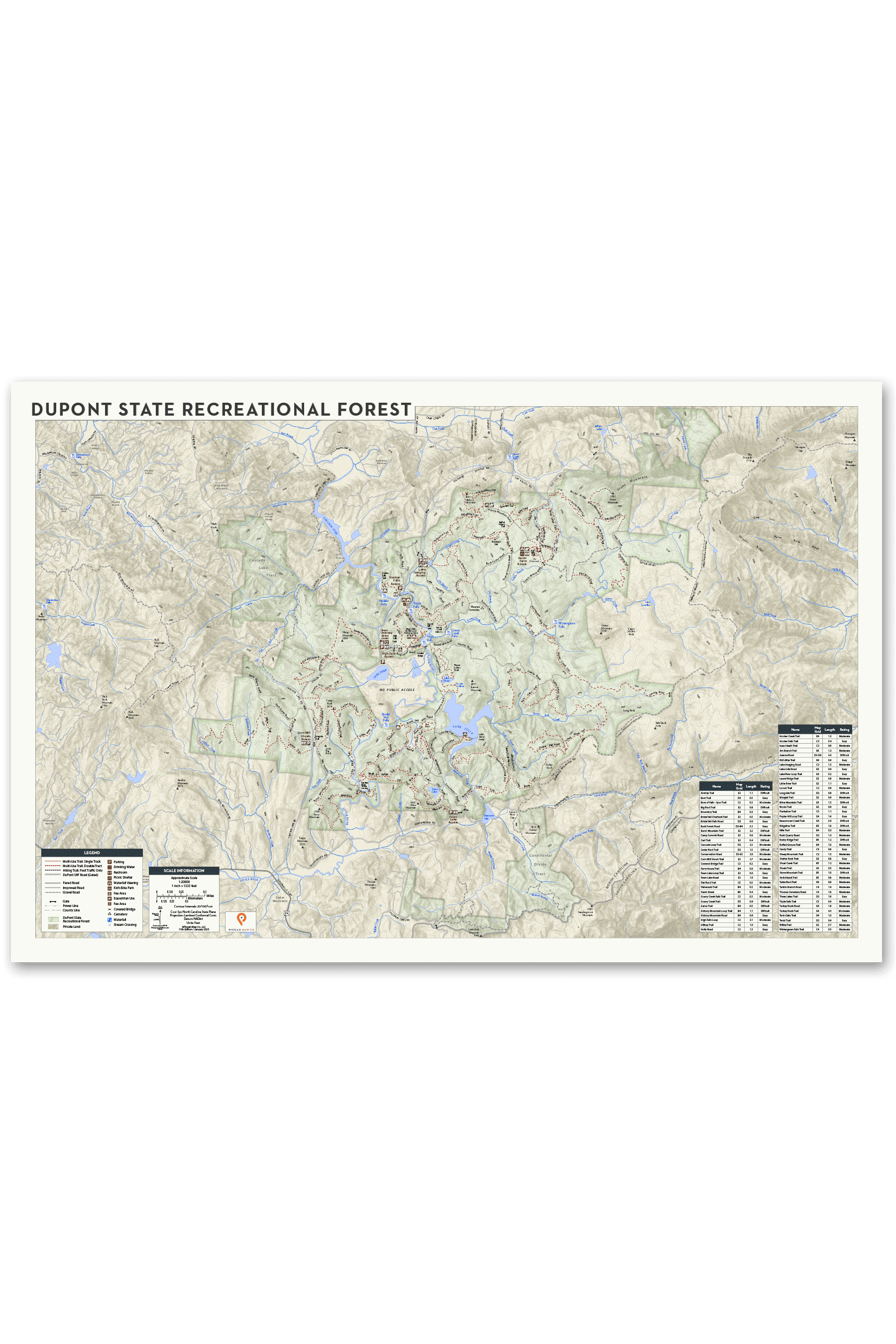
DuPont State Recreational Forest Wall Map
Bring DuPont Home / From Trail Guide to Wall Art
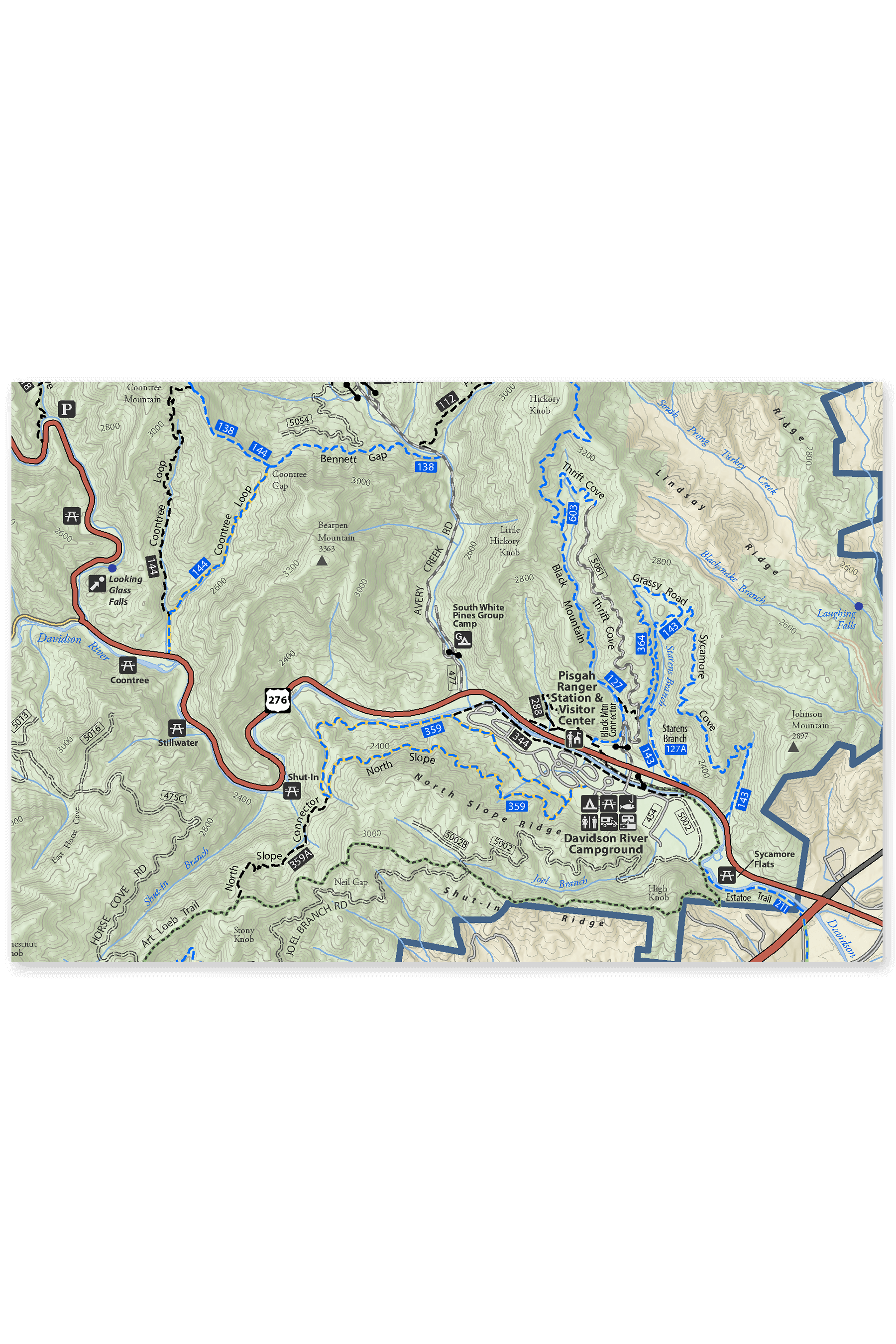
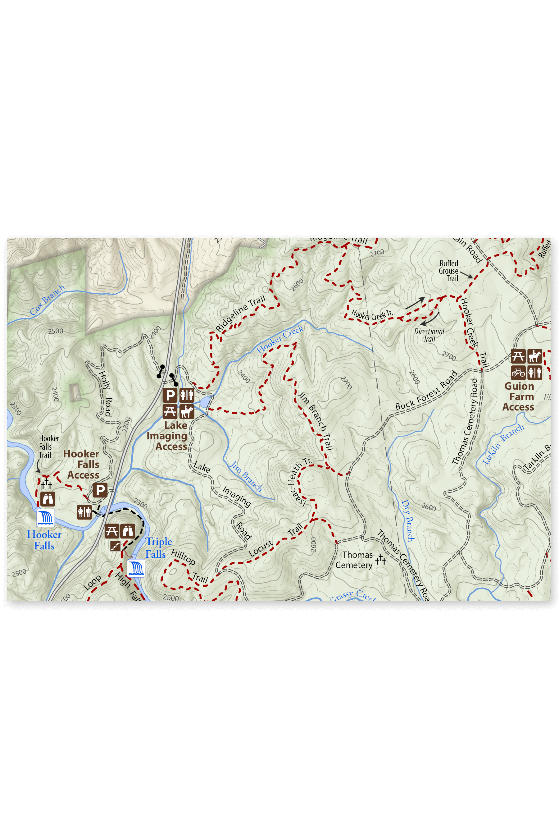
With detailed cartography and a design that blends artistry with functionality, this DuPont Wall Map celebrates the forest’s breathtaking beauty and rugged charm. Immerse yourself in the trail system that has something for everyone, from leisurely hikes to thrilling bike rides and horseback adventures. See the popular access points like Corn Mill Shoals, Guion Farm, and Hooker Falls lead to unforgettable moments in North Carolina’s only State Recreational Forest. From the cairn-marked slickrock trails of Cedar Rock and Big Rock to the iconic waterfalls of High Falls and Bridal Veil Falls, this map transforms DuPont’s natural wonders into a work of art.
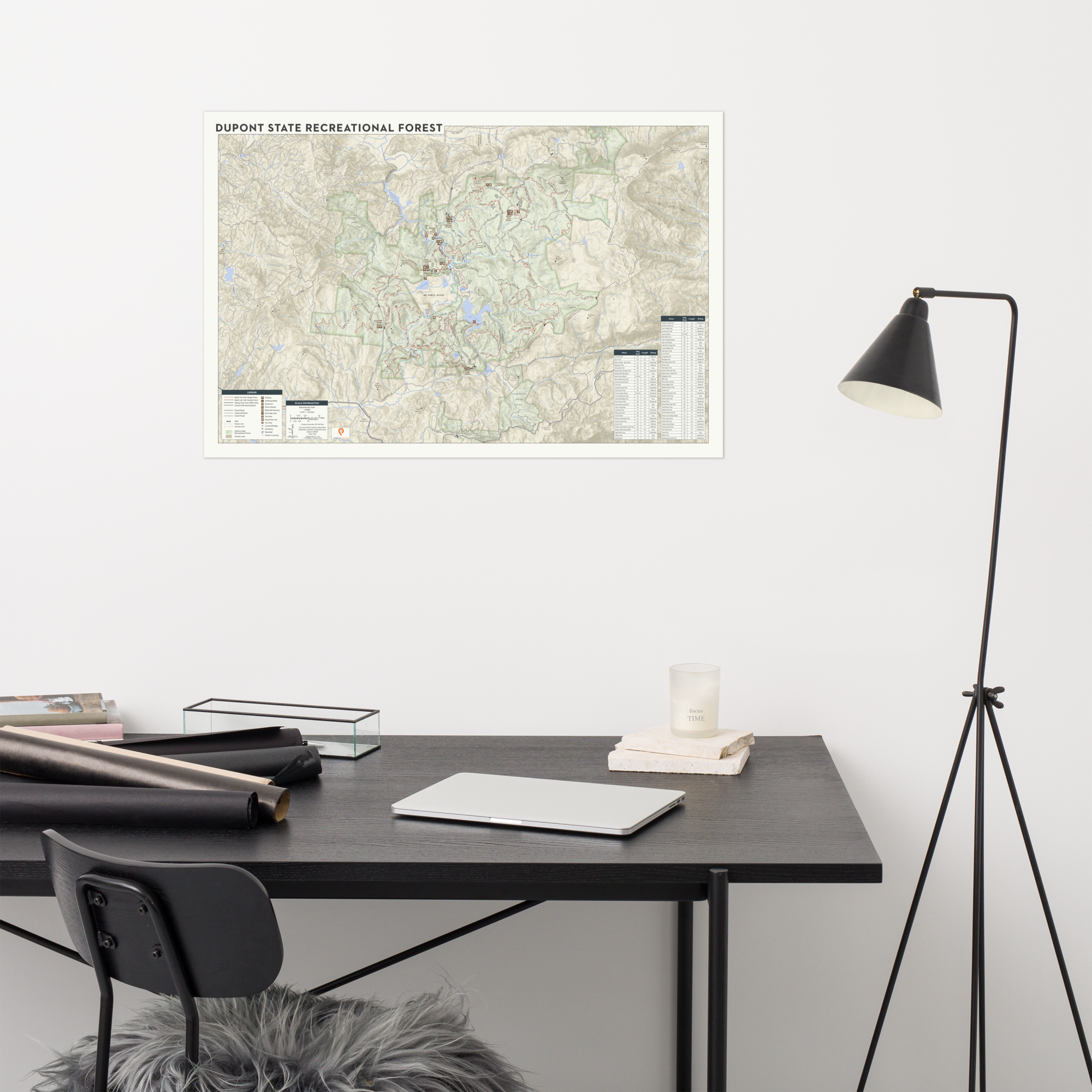
Perfect for outdoor enthusiasts, it’s the ultimate way to bring a piece of the wild indoors. Hang it in your home, office, or adventure cave, and let the spirit of the outdoors inspire your next journey.
Designed to standard frame sizes, this map fits seamlessly into any room. Made for explorers, dreamers, and anyone who cherishes the call of the wild.
Details:
• Covers the DuPont State Recreational Forest in incredible detail
• Highlights trails, scenic spots, waterfalls, access areas, and more
• Perfect for framing or gifting
Bring the DuPont State Recreational Forest into your home and let the adventure begin!
• Size: 24” x 36”
• Paper thickness: 10.3 mil
• Paper weight: 189 g/m²
• Giclée printing quality
• Opacity: 94%
• ISO brightness: 104%
• Packaging: Rolled
BRING THE OUTDOORS IN
Why leave the beauty of your adventures behind when you can hang them right on your wall? Our Pisgah Map Company Wall Maps transform our trusted trail guides into stunning works of art, ready for your home, office, or outdoor-obsessed den. Designed to fit standard frames, these maps aren't just conversation starters – they’re a tribute to the trails, rivers, and ridgelines where memories are made.